01 / 04
Scoping and coordination
Kick-off conversation with the client: our team understands the project goal together with you, maps potential site and structure constraints, and coordinates a precise flight date with on-ground stakeholders.
Precision. Speed. Service.
Accurate measurement for planning and engineering. Nationwide field teams, fast and professional service.
Ground and aerial data collection. Where precision meets speed.
Arbel Aerial Photography & Engineering specializes in surveying and mapping of buildings and open areas for planning and engineering. Using professional drones and advanced ground equipment, we deliver precise outputs: aerial and thermal photography, orthophoto, AutoCAD drawings, and 3D SketchUp models.
Since 2019 we have completed over 10,000 surveys across Israel for government ministries, municipalities and regional councils, educational institutions, water infrastructure, industrial facilities, sports and leisure sites, agricultural farms, and solar systems. Cumulative experience across a wide range of engineering projects.
A structured four-stage workflow with clear timelines. Every project, from a private home roof to an industrial plant, gets the same level of rigor.
Every project gets the full envelope it needs, at a professional standard with no compromises.
A complete 3D model of the structure or site, built in the cloud with precise coordinates matching field reality 1:1. From it we derive measurements that produce the SketchUp model (a simplified twin for planning and layout) and the AutoCAD drawing with dimensions.
SketchUp
A precise visual model of the building and surroundings. An ideal tool for planning decisions, end-client presentations, and cross-team coordination.
Submission-ready
Architectural and engineering plans drafted with precision, ready for direct submission to authorities and clean integration into the system design.
Solar panel thermal inspection
Aerial thermal imagery to detect heat faults in solar panels, building envelopes, and industrial installations. Professional reports with marked hotspots.
Israel Electric Corp & permit-light protocol
Survey maps approved per Israel Electric Corporation requirements and the permit-light protocol. Ready for submission and execution permit.
For architects and designers
Professional drone photography for renderings of existing and future projects. Outputs that integrate directly into presentations, project portfolios, and marketing materials.
Commercial drones, RTK receivers, thermal cameras, and the processing software that combine into the final deliverable for the client.
Real Time Kinematic
Real-time positioning systems delivering 1-2 cm geographic accuracy at every survey point.
DJI
Commercial drones with high-resolution cameras. Drone operation license from the Civil Aviation Authority.
FLIR thermal imaging
Professional thermal sensors for detecting heat faults in solar panels and building envelopes.
GNSS · Ground RTK
Ground-based RTK survey receiver that helps verify and refine measurements taken from drones.
Drone Deploy · Agisoft Metashape
Point cloud generation, orthophoto, and surface modeling from image sets. Professional processing pipeline.
AutoCAD · SketchUp
Standard engineering software stack for the industry. Outputs ready for submission and immediate project integration.
From raw aerial capture to the engineering deliverable handed to the client. Four examples from real projects, each showing a different stage in the deliverables pipeline.
Israeli Supreme Court · Jerusalem
Aerial photo → 3D model
Phoenicia Glass Factory · Tzipori
Aerial photo → SketchUp model
Katzrin Mall · Golan Heights
3D model → AutoCAD drawing
Eliyahu Reservoir · Sharon
Orthophoto → AutoCAD drawing
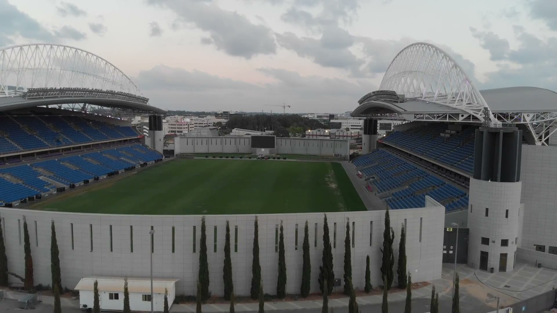
Hundreds of projects across Israel. Here are a few examples of work we have done for public bodies, regional councils, institutions, and industrial companies.
Here is how clients who have worked with us describe the experience: precision, speed, and personal attention.
From the first call, a professional who asked the right questions and got into the details. Photos, videos, every angle possible, so we saw the on-site reality through our screen.
Arik and the team have completed dozens of surveys for us across the country. The output quality we received is high, response times are fast, and we have not run into problems during installations.
High-level professionalism compared to other surveyors, availability (this matters most), efficient and fast solutions. And above all: a kind attitude.